Stadt Axotla (Distrito Federal)
Informations
Zahlen
- Landesvorwahl :
- MX
- Postleitzahl :
- 01030
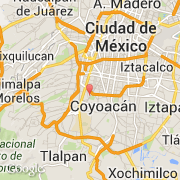
- Breite :
- 19.35700
- Länge :
- -99.17552
- Zeitzone :
- America/Mexico_City
- Zeitzonenbezeichner :
- UTC-6
- Sommerzeit :
- Y
Die stadt Axotla gehört zu der zustand Distrito Federal und zu der kommune Álvaro Obregón.
©photo-libre.fr