Stadt El Rosal (Distrito Federal)
Informations
Zahlen
- Landesvorwahl :
- MX
- Postleitzahl :
- 10600
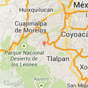
- Breite :
- 19.30970
- Länge :
- -99.25020
- Zeitzone :
- America/Mexico_City
- Zeitzonenbezeichner :
- UTC-6
- Sommerzeit :
- Y
Die stadt El Rosal gehört zu der zustand Distrito Federal und zu der kommune La Magdalena Contreras.
©photo-libre.fr