Stadt Santa Cecilia (Chiapas)
Informations
Zahlen
- Landesvorwahl :
- MX
- Postleitzahl :
- 29130
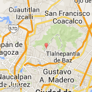
- Breite :
- 19.55422
- Länge :
- -99.15258
- Zeitzone :
- America/Mexico_City
- Zeitzonenbezeichner :
- UTC-6
- Sommerzeit :
- Y
Die stadt Santa Cecilia gehört zu der zustand Chiapas und zu der kommune Berriozábal.
Die stadt zählt Santa Cecilia erstreckt sich über 12,46 km² und zälht 105 Einwohner (Volkszählung von 2012) für eine Dichte von 8,43 Einwohner pro km². Die durchschnittliche Höhe beträgt 845 m.
Die Website von Santa Cecilia http://santacecilia.burgos.es
©photo-libre.fr