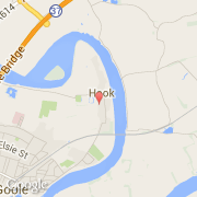
Stadt Hook (England)
Informations
Zahlen
- Landesvorwahl :
- GB
- Postleitzahl :
- DN14
- Breite :
- 53.71865
- Länge :
- -0.84894
- Zeitzone :
- Europe/London
- Zeitzonenbezeichner :
- UTC
- Sommerzeit :
- Y
Die stadt Hook gehört zu der nation England, zu der grafschaft East Riding of Yorkshire und zu der distrikt East Riding of Yorkshire.
©photo-libre.fr