Stadt Normanton-on-the-Wolds (England)
Informations
Zahlen
- Landesvorwahl :
- GB
- Postleitzahl :
- NG12
- Breite :
- 52.89064
- Länge :
- -1.07818
- Zeitzone :
- Europe/London
- Zeitzonenbezeichner :
- UTC
- Sommerzeit :
- Y
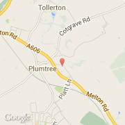
Die stadt Normanton-on-the-Wolds gehört zu der nation England, zu der grafschaft Nottinghamshire und zu der distrikt Rushcliffe.
©photo-libre.fr